
New Zealand Geography
New Zealand, about 1,250 mi. southeast of Australia, consisting of two main islands and a number of smaller outlying islands so scattered that they range from the tropical to the antarctic. The country is the size of Colorado. New Zealand's two main parts are the North Island and the South Island, separated by Cook Strait. The North Island is 515 mi long and volcanic in its south-central part. This area contains many hot springs and beautiful geysers. South Island has the Southern Alps along its west coast, with Mount Cook as the highest point. Other inhabited islands include Stewart Island, the Chatham Islands, and Great Barrier Island. The largest of the barren outlying islands are the Auckland Islands Campbell Island, the Antipodes Islands and the Kermadec Islands.
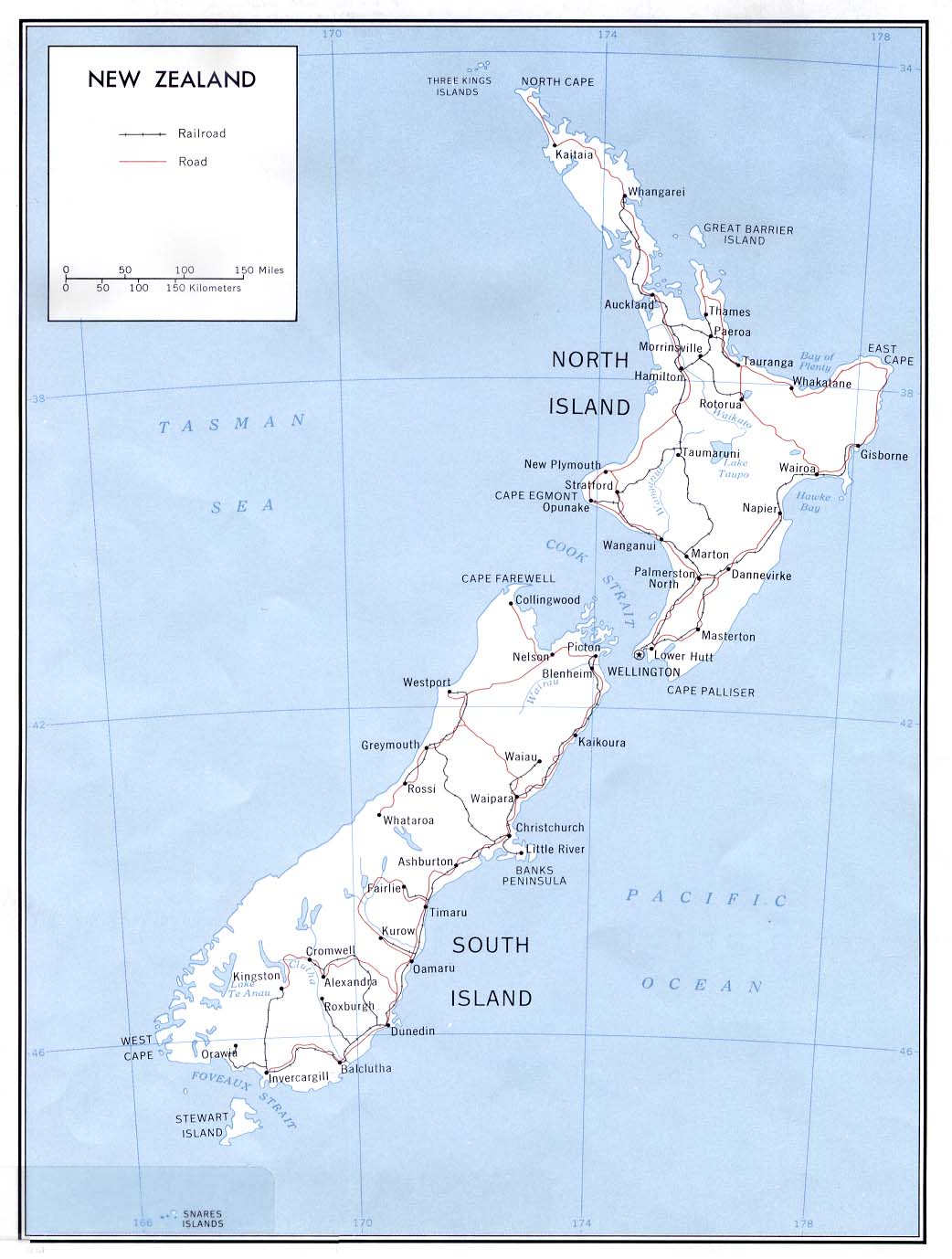
Political Map of New Zealand

Physical Map of New Zealand